Pick Up
1426. Polar Vortex and Cold Spells
Related Research Program
Information
1426. Polar Vortex and Cold Spells
Recently, Japan has been hit by a cold spell, with record snowfall observed in some areas. The effects of this severe cold wave are also being reported in the U.S.
The polar vortex is often talked about whenever a cold spell strikes, but it is actually an atmospheric phenomenon that exists throughout the winter. Here is an explanation by researchers at the University of Wisconsin-Madison.
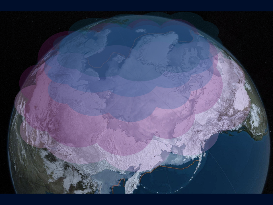
Polar Vortex and Jet Stream: What's the Difference?
The polar vortex is a low-pressure center that swirls in the stratosphere (about 16-48 kilometers above ground) around the Arctic during winter. This vortex contains frigid Arctic air. The colder the air within the vortex, the faster the vortex tends to rotate. The polar jet stream is a west-to-east current of wind about 8-14 kilometers above ground. The polar jet stream typically traps Arctic air near the North Pole within the Arctic Circle.
When the vortex is stable...
When the polar vortex is stable and strong, the polar jet stream typically remains strong. This traps icy air in the north, limiting its impact. Think of it like quickly spinning a lasso—a quick spin creates a nearly perfect circle. When the polar vortex is stable, the strong jet stream acts as a barrier to trap the cold Arctic air.
When the vortex is unstable...
However, temperatures in the upper atmosphere can rise rapidly, weakening the polar vortex. This phenomenon is called sudden stratospheric warming. When this occurs, the vortex slows down and often moves away from the Arctic, sometimes splitting into two. This can also destabilize the polar jet stream, causing Arctic air to drift southward. Using the lasso analogy, slowly turning the rope creates a wavy motion. As the polar vortex weakens, the jet stream weakens as well, allowing frigid air to drift further south.
Frigid Winds of January 22-25, 2026:
From January 22 to 25, an intensely cold front swept through the Midwest, dropping temperatures to their lowest in seven years. Following a small air mass that brought sub-freezing temperatures on January 19 and 20, the second cold air mass to hit the region that week originated from Canada's northernmost islands. The weak polar vortex disrupted the balance of the polar jet stream, causing frigid air to drift further south than usual.
Contributor: IIYAMA Miyuki, Information Program