Pick Up
1486. Increasing Likelihood of an El Niño Event Developing in Mid 2026
Related Research Program
Information
1486. Increasing Likelihood of an El Niño Event Developing in Mid 2026
On 24 April 2026, the World Meteorological Organization (WMO) reported that the probability of an El Niño event emerging from mid 2026 has risen. Marked warming of sea surface temperatures in the equatorial Pacific is being observed, which is expected to exert wide ranging influences on global temperatures and precipitation patterns. This article summarizes the outlook for El Niño and its potential impacts based on WMO’s latest seasonal climate forecast.
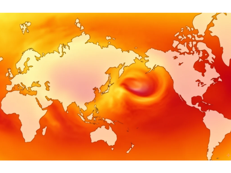
According to WMO’s most recent report, sea surface temperatures in the equatorial Pacific are rising rapidly, indicating a high likelihood that El Niño conditions could redevelop as early as May–July 2026. While ENSO conditions were neutral at the beginning of the year, climate models are now largely aligned, increasing confidence in the onset of El Niño. At the same time, WMO notes the presence of the so called “spring predictability barrier,” which makes it difficult to assess the event’s eventual strength at this time of year. Confidence in intensity forecasts is expected to improve after April.
At present, there is also the possibility that this El Niño could develop into a strong event. However, WMO does not use the term “super El Niño,” as it is not part of its standardized operational classifications.
El Niño is characterized by warmer than average sea surface temperatures in the central and eastern equatorial Pacific. It typically occurs every two to seven years and lasts for approximately nine to twelve months. El Niño and La Niña represent opposite phases of the El Niño–Southern Oscillation (ENSO), one of the most influential climate systems on Earth.
El Niño significantly alters global temperature and rainfall patterns and generally has a warming effect on the global climate. In fact, 2024 became the hottest year on record due to the combined effects of the strong 2023–2024 El Niño event and human-induced climate change.
There is no clear evidence that climate change increases the frequency or intensity of El Niño events. However, warming oceans and atmosphere can amplify their impacts, making extreme weather events such as heatwaves and heavy rainfall more severe.
Typically, El Niño is associated with:
- Increased rainfall in southern South America, the southern United States, the Horn of Africa, and Central Asia
- Drier-than-normal conditions over Australia, Indonesia, and parts of southern Asia
During the Northern Hemisphere summer, warmer waters in the central and eastern Pacific can fuel hurricane activity, while hurricane formation in the Atlantic Basin tends to be suppressed.
According to WMO projections, land surface temperatures are expected to be above-normal almost worldwide during the May–July 2026 period. The warming signal is particularly strong over southern North America, Central America, the Caribbean, Europe, and Northern Africa. Rainfall forecasts, however, indicate substantial regional variability.
Each El Niño event evolves differently, with impacts varying significantly by region. Seasonal climate forecasts therefore play a critical role in preparedness planning for climate sensitive sectors such as agriculture, water resource management, energy, and public health. WMO is scheduled to issue its next El Niño/La Niña update in late May, which is expected to provide more robust guidance for decision making for the June–August period and beyond.
Contributor: IIYAMA Miyuki, Strategic Coordination Office