Pick Up
852. August 2023 Weather in Asia
Related Research Program
Information
852. August 2023 Weather in Asia
This summer saw an unprecedented heat wave in the Northern Hemisphere, and record high temperatures and unusual weather conditions were also reported in various parts of Asia. Even in the Southern Hemisphere, Australia experienced record warmth this winter with an average temperature of 16.75°C. In addition, the Japan Meteorological Agency reported that the summer months (June to August) of the same year saw the highest average temperatures since 1898.
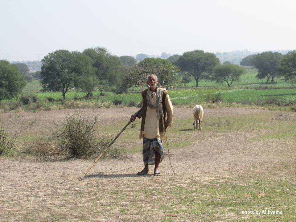
India, home to the world's largest population, experienced an August like no other in recorded history. Despite being in the midst of the monsoon rainy season, which traditionally provides 70-80% of the country's annual rainfall, the country experienced exceptionally scorching and dry conditions. Although early August brought heavy rains and destructive flooding to the northern region, overall rainfall was well below normal.
According to the Indian Meteorological Department, India's average rainfall fell to 162.7 mm in August 2023, a sharp 36% decline from the 1971-2020 average of 254.9 mm, surpassing the previous low of 191.2 mm in 2005 and marking the lowest in recorded history since 1901. Central and southern India also recorded their lowest rainfall since 1901. Moreover, the month witnessed significant day-to-day rainfall variability, with 58 out of 1197 stations reporting extremely heavy rainfall, exceeding 204.4 mm. Conversely, the region around 30°N experienced persistent heavy rainfall, particularly in the western Himalayas.
Looking ahead, the Indian Meteorological Department predicts normal to below-average rainfall in early September. This forecast raises concerns for the agriculture sector, which is heavily dependent on rainwater, as increasing variability in daily and monthly rainfall patterns poses a significant threat.
The disruption of daily precipitation patterns that deviate from historical norms has profound implications for both society and ecosystems. Globally, average precipitation is projected to increase slightly with each warming event, albeit with varying regional impacts. Under the influence of climate change, naturally wet regions are expected to receive more precipitation, following the "wet-gets-wetter" or "wettest-gets-wetter" response, while regions with warming oceans are expected to experience increased rainfall intensity, following the "warmer-gets-wetter" phenomenon. Nevertheless, distinguishing the effects of anthropogenic warming from observed data remains challenging.
A recent study published on August 30 in Nature used a deep learning model to illustrate the trend in daily rainfall variability caused by climate change. Using a convolutional neural network (CNN), the authors analyzed daily rainfall and annual mean temperature data derived from observations and forecast simulations. They found that daily rainfall data began to deviate significantly from natural variability in the mid-2010s, highlighting its potential as a reliable indicator of global warming. The study underscores that the impact of global warming on the daily hydrological cycle is becoming increasingly apparent, even in the face of the complexities associated with distinguishing it from long-term average annual precipitation and natural variability.
Reference
Ham, YG., Kim, JH., Min, SK. et al. Anthropogenic fingerprints in daily precipitation revealed by deep learning. Nature (2023). https://doi.org/10.1038/s41586-023-06474-x
Contributor: IIYAMA Miyuki (Information Center)