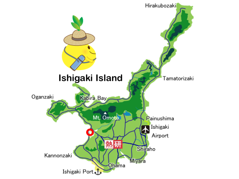
Let’s enjoy the scenery around Ishigaki Island through 360-degree photos!(26)Nagura Amparu
The tidal flat inside the sandbar covers an area of approximately 20 ha, mangrove forests cover approximately 62 ha, and wet grasslands cover approximately 49 ha, with a wide variety of flora and fauna. It was registered as a Ramsar site in 2005 and incorporated into the "Iriomote-Ishigaki National Park" in 2007.
The name "Amparu" comes from "casting a net"("Ami wo haru" in Japanese), and it used to be a place to ambush and catch the villagers who ran away because they could not bear the weight of the capitation tax ("nintou-zei" in Japanese).
Ramsar Site in Japan
Major Type of Wetland: Estuarine tidal flat, mangrove forest
Ramsar Designation: 2005.11.8
Let’s enjoy the scenery around Ishigaki Island through 360-degree photos!


